3D survey provides formulations of 3D virtual models in the form of 3D hyper
textual data banks which may be consulted online and which supply direct support for planning, allow for interaction between
various people working on the process (designer, electrician, builder, historian, librarian, etc.) and supply, at planning stage or on completion of work, all information related to the final product. The 3D computerized models, made as data bases, are therefore a point of reference for all-comprehensive representations of situations and, at the same time, for various interpretations according to the user’s
needs. The 3D database may be continually added to and updated with new data sent by remote contributors involved in the project
and linked online. This enables not only integration of the various professional skills but also the sharing of not only basic information, but also the developments related to each stage of progress of the
analysis and project. This enables close interaction between those working, an effective cross-checking of the work done by each, a reduction of potential error and the best possible use of time and
available resources.
The 3D data base may also become an effective instrument for the planning of maintenance works to be carried out on a historic building: as such, it offers itself as an alternative multimedia tool to
any sort of record on paper.
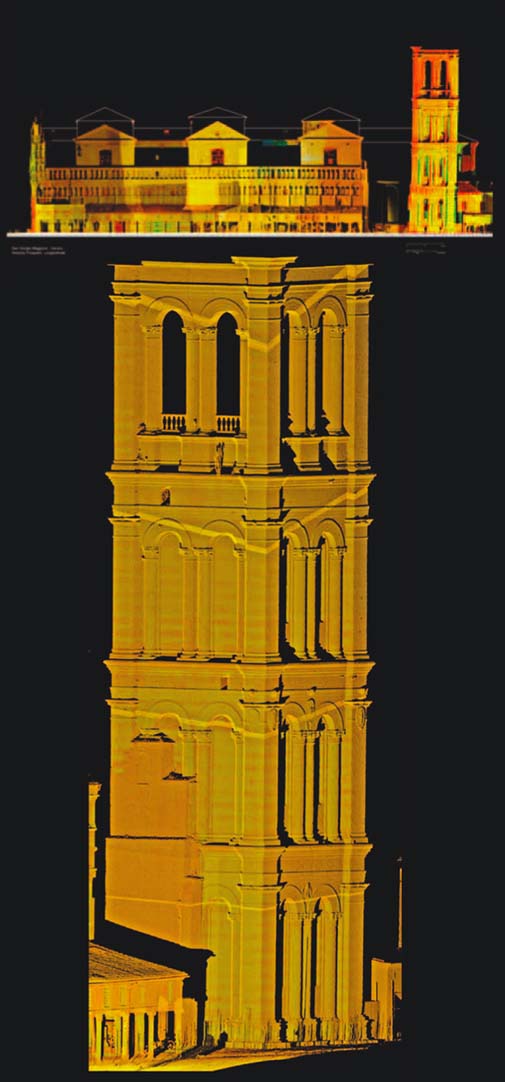
It is possible to create 3D models based on laser scans suitably, integrated with other methodologies (topography, photogrammetry, reflectography, spectrophotometry), in order to build up a digital data base which can directly accessed, consulted, integrated with the results of further researches and used for conservative interventions on archaeological sites and their enhancement.
|  |