Building the MUDI
|
|
|
|
  |
|
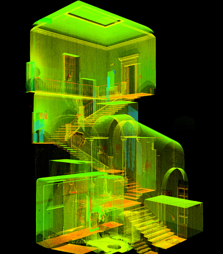
The 3D morphometric survey is able to identify the complexity of the volumetric composition of the object using different technolo-gies such as: the laser scanner 3D in order to obtain a 3D model; the topographic survey used to identify a substations’ net part of the whole survey system; the photographic survey aimed at the implementation of the complete knowledge of the involved surfaces conservation state. The analyses and the coordinate system comparison (made visible through a point cloud visualization) made more clear the volume of the whole architecture.
|
   |
|
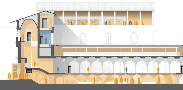
In this way the internal space could be visualized by different cutting sections and even the plans can be verify in order to adjust the single elements of the object (such as internal walls and other structures).Furthermore the data analyses can produce the possibility of identify axes of visualization and at the same time the involved internal spaces: the designer can thus choose to focus itself on the internal space, on the relation between the external and the internal part of the building or on the whole architectural complex. |


